

Flytec Element Track (GPS)
$599.00
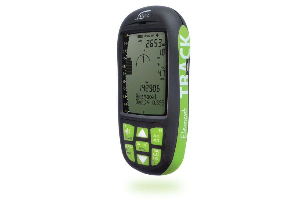
Element Track
The Element Track, formerly known as the Element, is identical in every way to the Element except for the printing on the housing. The name was changed to allow for additional models in the Element series. The Element Track is a perfect blend of functionality, size, weight, ruggedness, battery life and user-friendliness. The Element Track is truly the best all-around instrument for hang gliding and paragliding pilots that want to fly higher, farther, safer and faster or simply just want to get more out of their flights.
Features
- Altitude and Climb/Sink indication in unsurpassed Flytec quality
- Virtually unlimited waypoints and flight recording
- Conventional and race routes
- Highly tactile keypad that is simple to operate, even with gloves on
- Airspace warnings
- Connection with any computer, without any software installation
- Super easy firmware updates
General
- Robust, shockproof ABS housing, matte black with green trim
- Tactile keypad with glove-friendly keys, high-contrast display
- Dimensions: 138 x 74 x 23 mm
- Weight: 178 g (including Batteries)
- Power supply: 2x AA batteries (Alkaline or NiMH accumulators)
- Battery life: ~35 h
- Operating temperature: 14ºF to 122ºF or -10°C to 50°C
- Languages: English, German, French Italian, Spanish
Altimeter
- Units: m / ft
- Resolution: 1 m or 1 ft
- Range: up to 40,354 ft or12,300 m
- QNH: air pressure indication in hPa or in Hg
- ALT 1: Absolute altitude
- ALT 2: Choice of absolute or relative altitude
Variometer
- Units: m/s or fpm
- Graphic indication: ±2000 ft/min. or ±10 m/s
- Graphic resolution: 40 ft/min. or 0.2 m/s
- Numeric indication: ±30,000 ft/min or ±300 m/s
- Numeric resolution; 10 ft/min or 0.1 m/s
- Averager: selectable from 1 s to 30 s
Acoustics
- Volume: 4 levels
- Vario profiles: Five predefined (weak, regular, strong, ridge soaring, balloon) - individually adjustable
- Climb tone: selectable lower threshold, frequency and cadence modulation
- Near-thermal tone: selectable lower threshold and volume adjustment
- Sink tone: selectable upper threshold and volume adjustment
- Stall alarm: selectable threshold (requires optional airspeed sensor)
- Additional vario adjustments: Base frequency, and modulation
Airspeed
- Requires optional sensor
- Units: kph, knots, mph
- Range: 0 to 74mph or 0 to 120 kph, resolution 1 mph, km/h, kt
- Calibration: ±50%
GPS
- GPS-Receiver with 48 channels
- Position determination at 1 Hz
Waypoints
- Capacity: 200 waypoints
- Entry: Store current position, manual entry, load waypoints from file
- Coordinate formats: dd.ddddd, dd’mm.mm , dd’mm’ss
- File formats: CompeGPS (.wpt) , GEO (.wpt) , Ozi Explorer (.wpt) , SeeYou (.cup), GPX (.gpx)
- Easily manage waypoint lists for each flying site
Routes
- Capacity: 1 route, with up to 50 waypoints
- Entry: Selection from waypoints list
- Race route: Start time, number of start gates, exit or enter start, start gate interval with start assistant
Navigation
- Goto: direction graphic with numeric heading and distance to waypoint
- Route: manual or automatic advancement of waypoint
- Graphic direction to next and subsequent waypoint, numeric direction and distance to next waypoint
- Speed over ground
- Current glide ratio (L/D)
- Required glide ratio (L/D) to next turnpoint
- Wind: direction graphic, and numeric direction and speed
- Last thermal: graphic and numeric direction and distance
- Units for distance: km or miles
Airspace
- Indication of direction and distance to nearest restricted airspace
- Acoustic and visual warning before entering restricted airspace
- Graphic navigation aid for quickest exit of restricted airspace
Recording
- Internal logbook: 50 flights: date, start time, duration, max altitude, max climb and sink rate
- Flight recording in IGC format
- Recording interval: 1 s to 60 s
- Record time: 100,000 hours at standard recording interval (10s)
PC Connection
- Micro-USB connector
- No connection driver/software required
- Compatible with Windows, OSX, Linux, Android (through OTG cable)
- Drag and drop file exchange (flights, waypoints, airspace)
You might also like
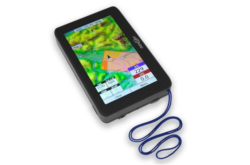
Naviter Oudie 4 and Basic (XC, Competition)
from
$650.00
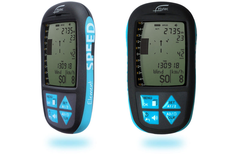
Flytec Element Speed (GPS)
$499.00
SkyDrop (Lightweight, GPS)
from
$275.00